NYC Braces for a Wild Winter as Powerful ‘Super El Niño’ Takes Shape — Here’s What to Expect
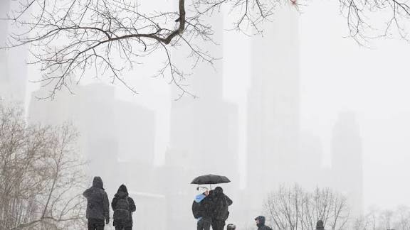
New York City could be in for a very different kind of winter.
A powerful “Super El Niño” is brewing over the Pacific — and forecasters say the unusual weather pattern could leave New Yorkers facing warmer temperatures, less snow and a potentially soggier stretch later in the season.
The developing phenomenon is a particularly intense version of the more familiar El Niño, a climate pattern that occurs when waters in the tropical Pacific become unusually warm.
Those enormous pools of warm water can set off a chain reaction across the atmosphere, shifting jet streams and altering weather patterns thousands of miles away.
And this year’s event is shaping up to be anything but ordinary.
Forecasters currently put the chances of the developing El Niño reaching “Super El Niño” strength at around 70% by October, raising the possibility of one of the most powerful events seen in decades.
What does it mean for New York?
For New Yorkers hoping for a classic snowy winter, the early outlook may come as a surprise.
Meteorologists expect temperatures to run above average, particularly as the season gets underway.
September could remain unusually warm, while cooler air may begin making appearances in October.
But that doesn’t necessarily mean winter will arrive with a wall of snow.
Instead, the developing pattern could favor rain and milder conditions over snow, particularly in the Northeast.
According to AccuWeather Senior Meteorologist Carl Erickson, warmth could linger through September before short bursts of cooler weather arrive in October.
That means New Yorkers could potentially see the first flakes as early as late October or November if the right conditions line up — but forecasting snow this far ahead remains highly uncertain.
A warmer winter could mean less snow
El Niño typically affects different parts of the country in dramatically different ways.
The Southeast can become wetter and stormier, while portions of the Midwest tend to turn drier.
Northern states often experience warmer conditions.
For the East Coast, the picture can be more complicated.
But historically, stronger El Niño patterns have often tilted Northeastern winters toward milder temperatures, more rain and sleet, and fewer major snow events.
That could mean fewer of those classic NYC snowstorms — and more days when residents find themselves reaching for an umbrella instead of snow boots.
But don’t expect a quiet winter
A warmer winter does not necessarily mean a calm one.
Changes in the jet stream can influence the path and intensity of storms moving across the country.
New York could still experience periods of heavy precipitation and coastal storms, even if temperatures make accumulating snow less likely.
The city has already had a remarkably wet August.
More than 8 inches of rain had fallen in New York City by the end of the month, making it the wettest August in five years.
The last time the city experienced comparable August rainfall was in 2021, when more than 10 inches fell.
The bigger picture
El Niño develops every few years when temperatures across the equatorial Pacific rise substantially above normal.
The phenomenon may begin thousands of miles from New York, but its effects can ripple across the atmosphere and reshape weather patterns around the globe.
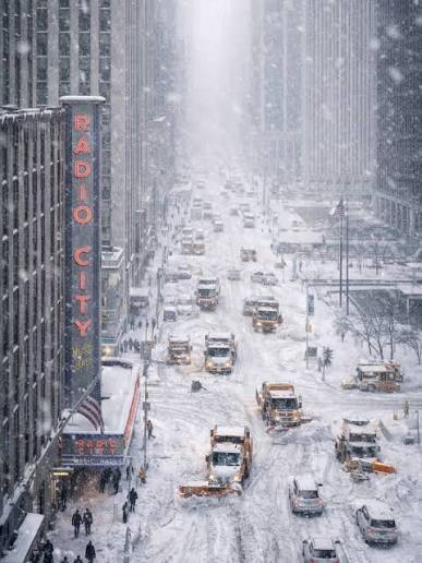
This year, however, scientists are watching the Pacific closely because the warming is expected to reach exceptional levels.
Recent climate analyses indicate the 2026 event could rank among the strongest El Niños observed in the modern record, with some forecasts suggesting it could eventually surpass previous major events.
For New Yorkers, the immediate takeaway is simpler:
This winter may not look anything like the winters they remember.
Instead of a season dominated by snow and bitter cold, the city could see an unusual combination of above-average temperatures, rain, occasional bursts of cold and potentially fewer opportunities for a true snow day.
And with the Super El Niño still developing, forecasters warn that the weather picture could continue to evolve as fall approaches.
One thing is becoming increasingly clear:
The Pacific is heating up — and New York is likely to feel the effects.
Source: Nypost